Midwest tornadoes: What a decaying El Niño has to do with violent storms in the central US
Published in News & Features


Dozens of tornadoes hit the central U.S. April 26-28, 2024, tearing through suburbs and small towns and damaging hundreds of homes from Oklahoma to Nebraska and Iowa.
Spring is tornado season in the U.S., but the tornadoes in Nebraska and Iowa were quite a bit farther north and east of what would be typical for tornadoes in late April, when tornado activity is more common in Oklahoma and Texas.
The outbreak did fit another pattern for severe weather events, however, that occur as the atmosphere transitions out of El Niño. And this is exactly what was happening in late April.
I study tornadoes and the conditions under which they form. Here’s how these storm systems develop and what El Niño has to do with it.
Two basic conditions are required to produce the rotating supercell thunderstorms that are capable of generating tornadoes:
Warm moist surface conditions and cold air above.
Winds that change in both speed and direction as you move up in the atmosphere, known as vertical wind shear.
Picture a kid who has a helium balloon at a party and releases it – the balloon floats upward. Like that helium balloon, the warm moist air is less dense than the surrounding colder air, so it rises, accelerating upward. This upward motion releases heat, moisture and energy, and causes thunderstorms to develop.
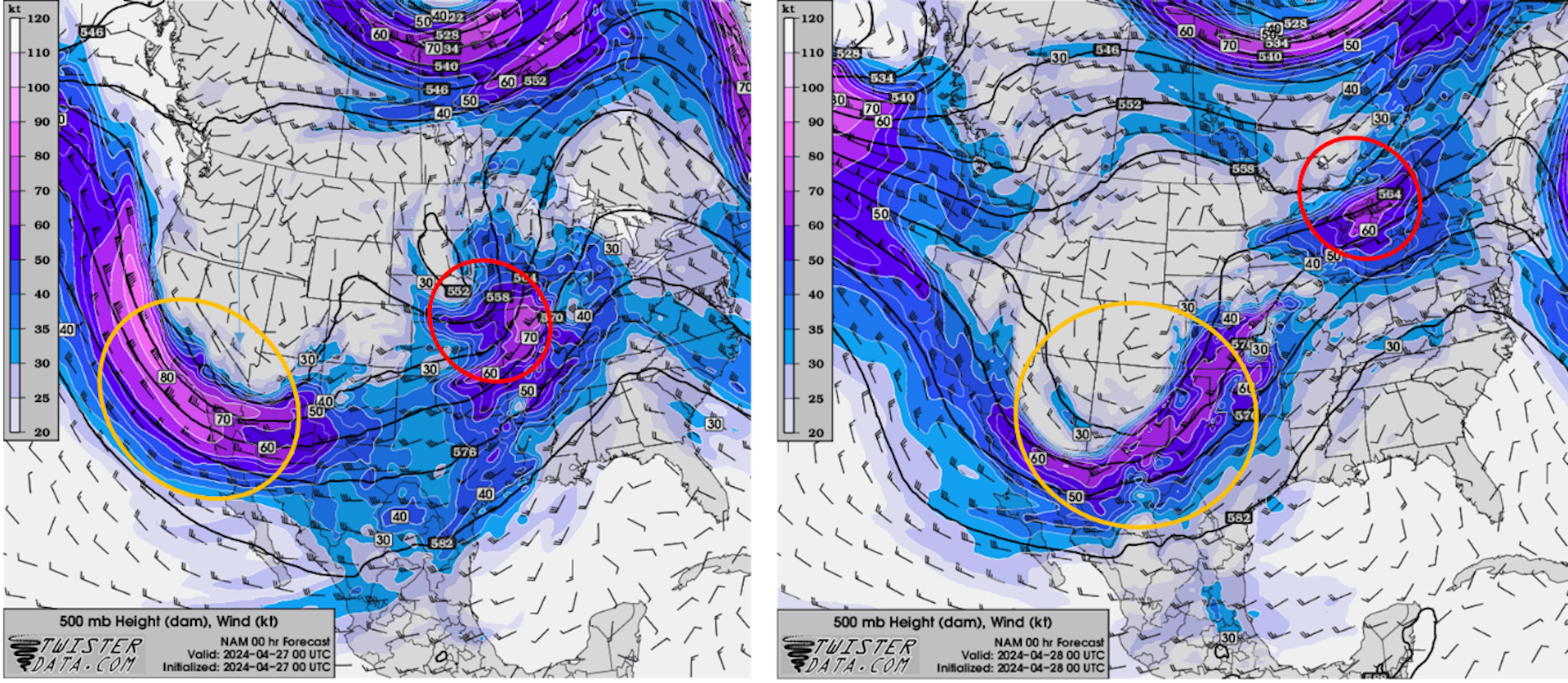
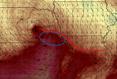
As with many severe weather outbreaks that occur in the U.S., the atmosphere became primed for storms as warm moist air at the surface was being transported northward from the Gulf of Mexico by a series of surface low-pressure systems.
Higher up, about halfway between the ground and where airplanes fly, atmospheric waves within and below the jet stream were transporting cold air through the middle part of the atmosphere. These waves, formally called Rossby waves and commonly referred to as troughs and ridges, also enhanced vertical wind shear.
...continued


Comments